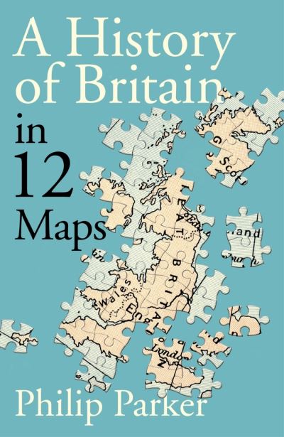
A History of Britain in 12 Maps
In 878 the borders of Alfred the Great’s Wessex were confined to a small patch of marshland in Somerset. This was Britain. Four centuries later, and the country straddled the English Channel, embracing much of what we now know as France. Six hundred years later, its boundaries were to be found in the Caribbean, the Arabian Sea, the Indian Ocean and the Sunda Strait. These, too, were Britain. Is the shape of Britain led by the British – or are foreign powers more responsible for our borders than we realise? Is Britain justified in its island mentality? Will Britain ever be at ease with its own borders? And is the shape of Britain soon to change all over again? This comprehensive, entertaining and concise new history uses twelve maps to explain Britain’s most characteristic trait – our need to be both part of the wider world, yet separate from it.
£25.00
Author Philip Parker Published by Michael Joseph ISBN 9780241368268 EAN 9780241368268 Bic Code Cover Hardback
-
£22.00
-
£9.99
-
£10.99
-
£25.00
-
£14.99


